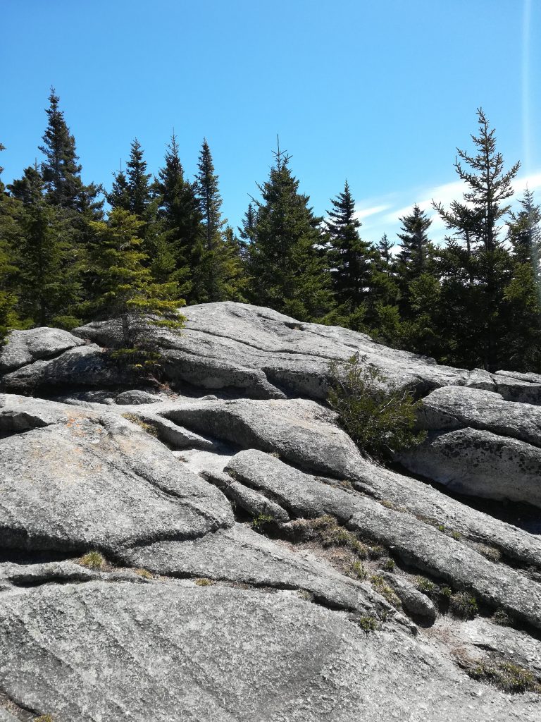
Spring Hike on Mount Pinacle, Coaticook, Qc
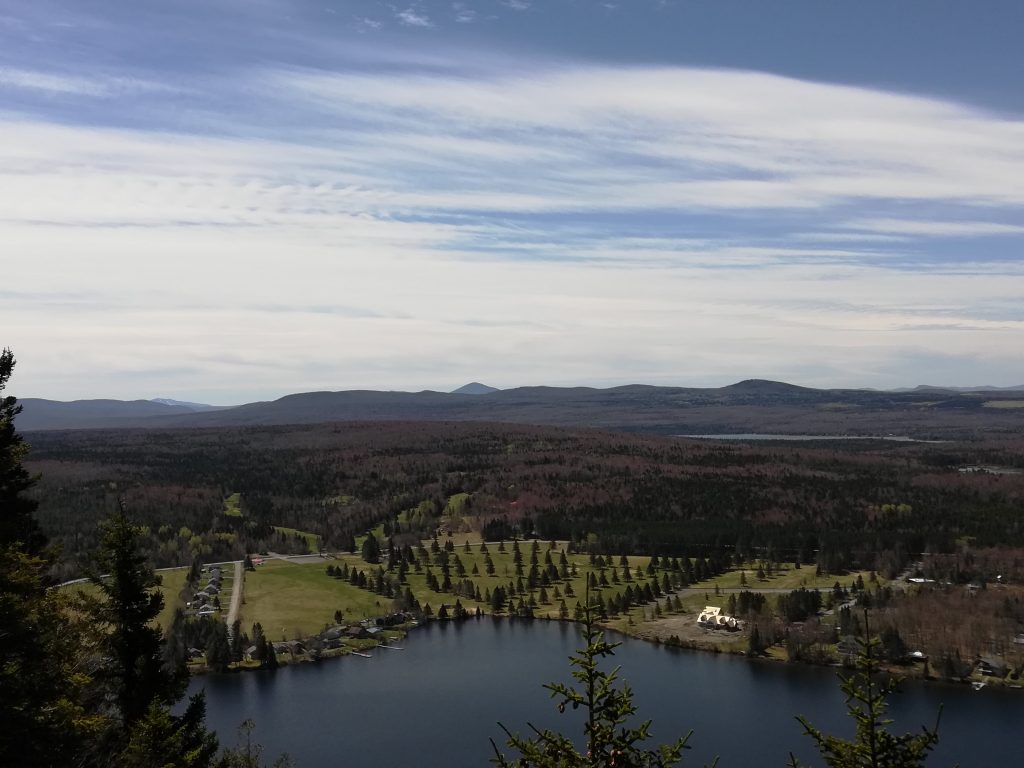
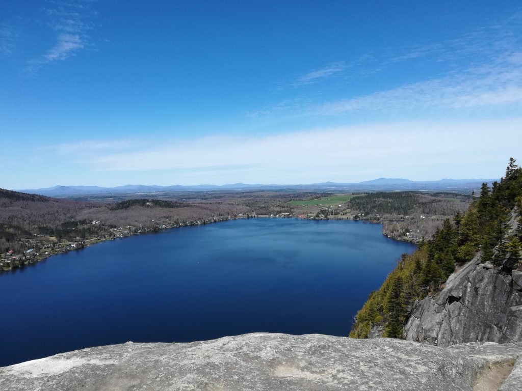
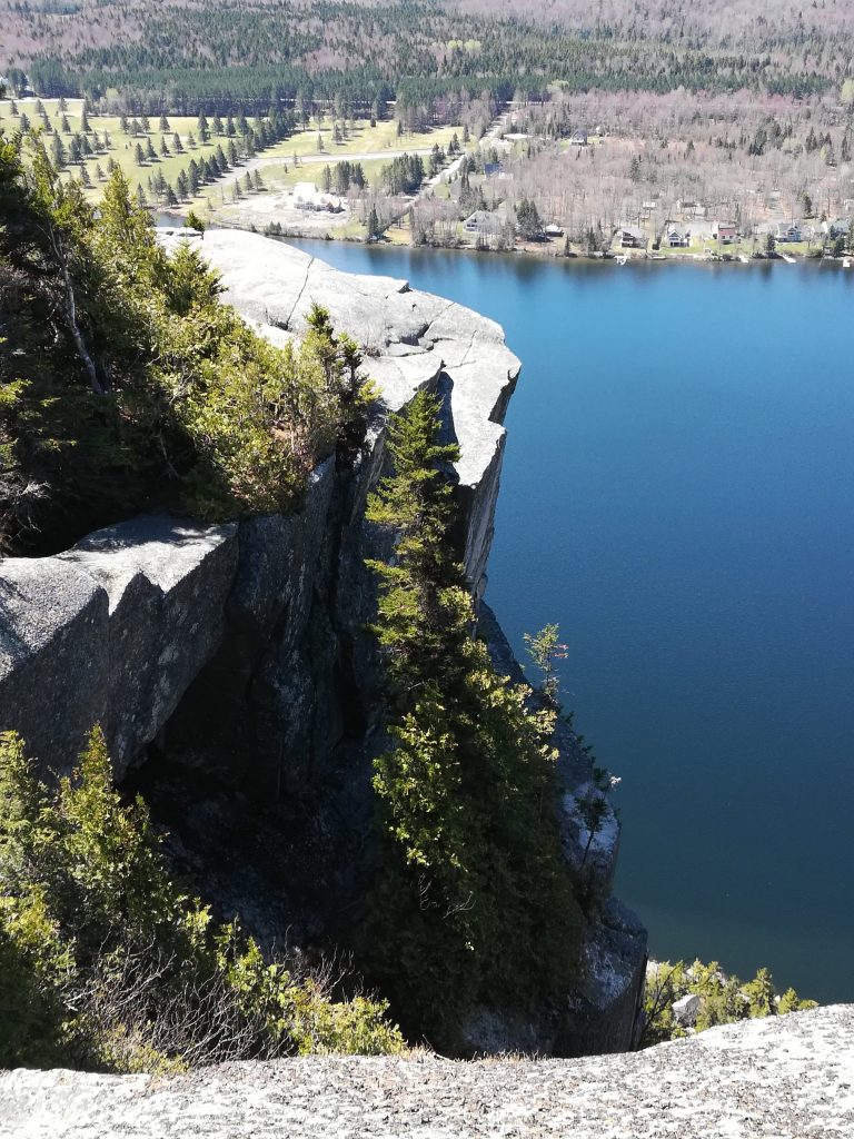
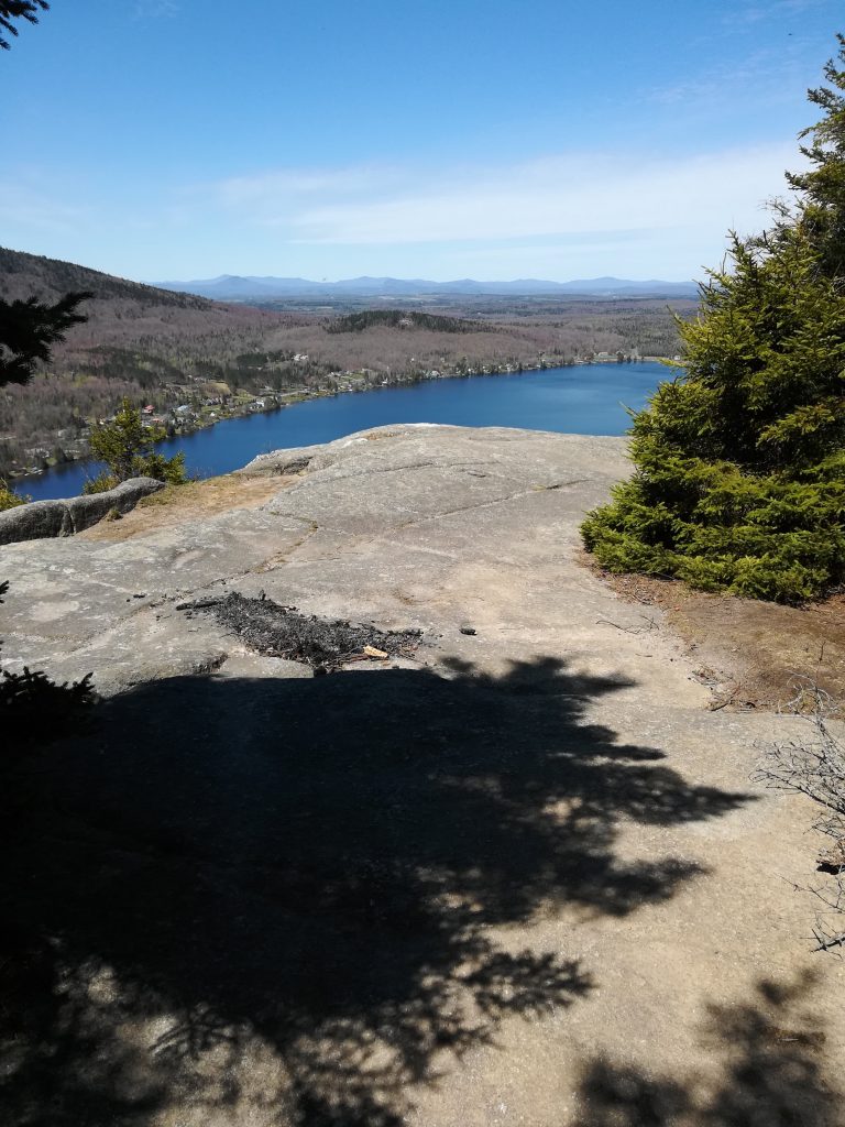
Mount Pinacle is a mountain located in Coaticook, Quebec Canada. There are 7.8 kilometers of trails on the mountain, which hikers may use free of charge. Experienced rock climbers may scale the face of the hill starting from Lake Lyster. In 2013, part of the hill was closed to rock climbing due to the nesting of peregrine falcons on Mount Pinacle. Source: Wikipedia)
It often confused with Mount Pinnacle located in Frelighsburg, Quebec, Canada.
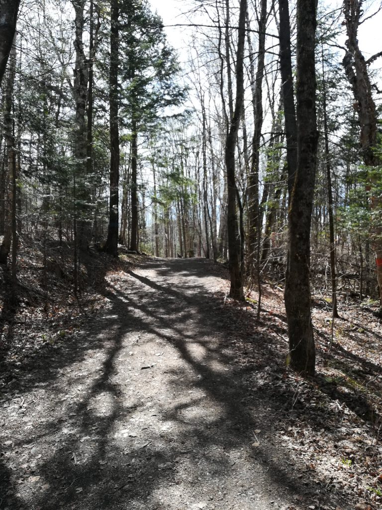
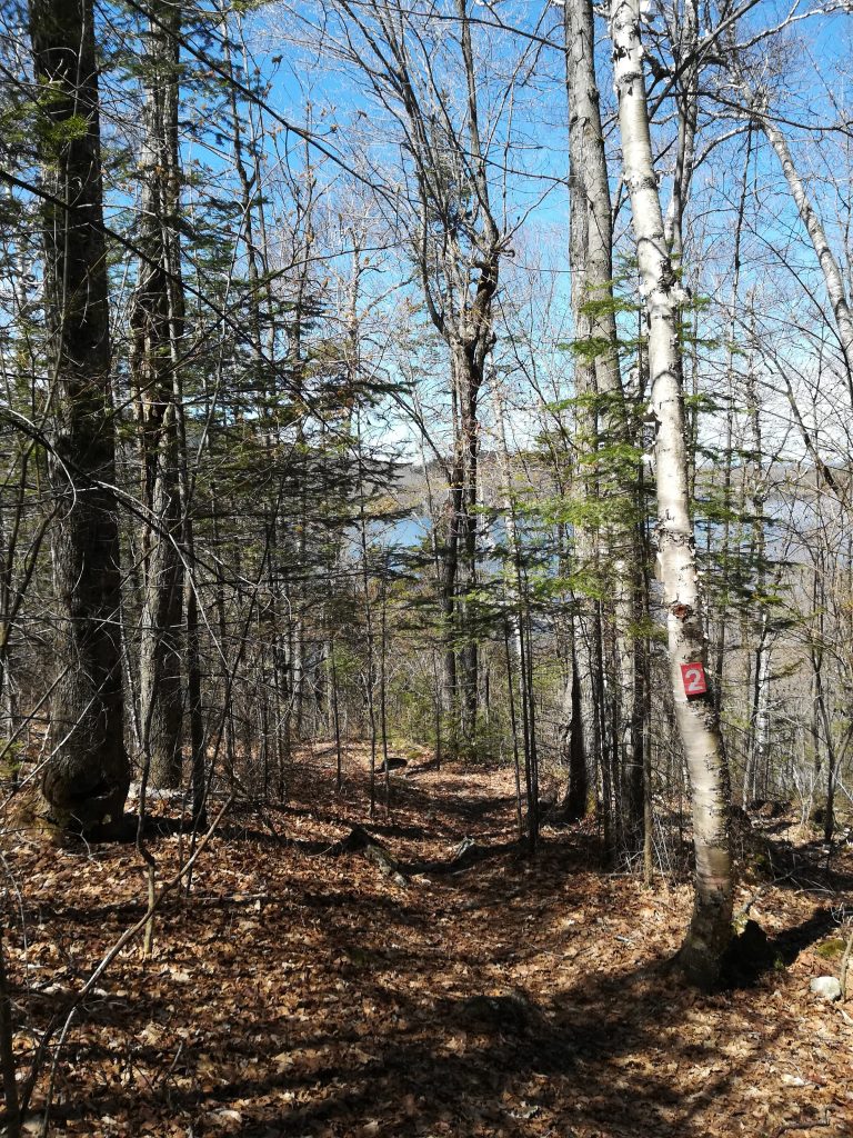
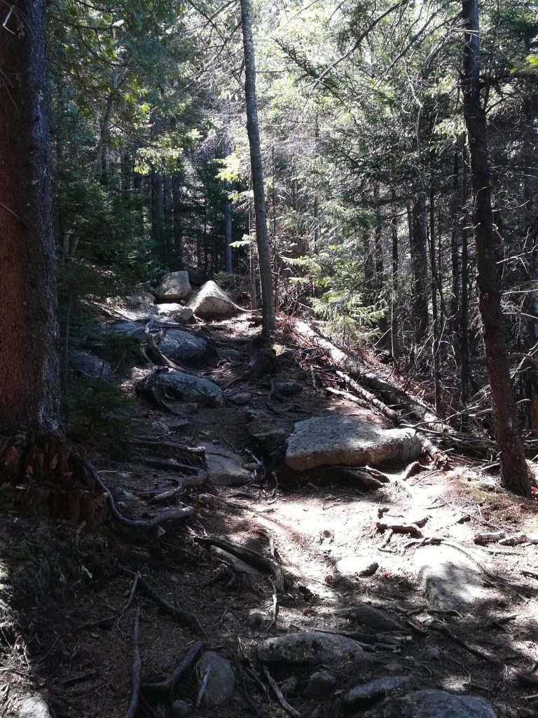
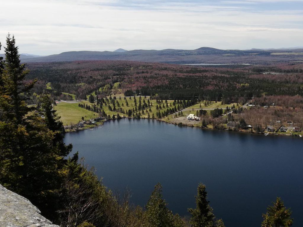
On this day, I went up routes 2 and 3 and down using routes 6, 5 and 1. It’s not a terribly difficult hike, but the view is spectacular! It is a popular hiking spot for families and locals, though most people will go up and down using route 1, which is easier. As a side trip, or an extra challenge, you can go up and down route 2.
Map
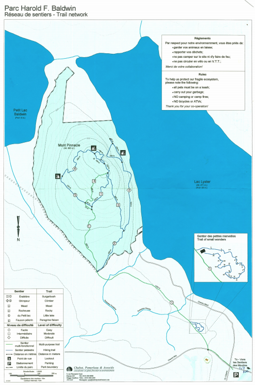
Information
Trails: 7,9 km (free)
Open: March 31 to November 30
Parking: 1883 May Road, Baldwin Mills, near the old Fire Station. You’ll need to walk up the hill on the road to reach the trails.
Regulations: Animals must be on a leash, camping and campfires are prohibited, circulation closed to bicycles and quads
Elevation: 665 m
Prominence: 120 m
Mountain range: Appalachian Mountains