Winter Hike on Mount Willey via Ethan Pond Trail
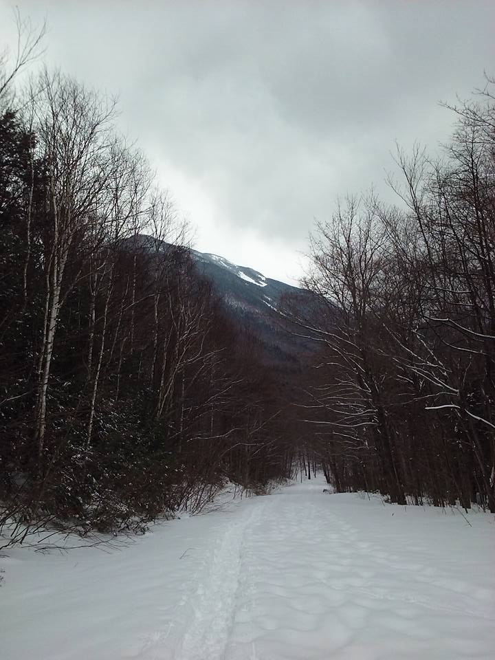
Mt. Willey (4,285′) is the second of highest and southernmost mountain of the Willey Range, which also includes Mt. Field (4,340′) and Mt. Tom (4,051′). Mount Avalon (3,399′) is also a short distance (1 mile) away. Most people do them together, which I’ve done in the summer. But for today’s overcast and chilly day, it was going to be enough on its own! The hike is 5.4 miles out and back and takes 3 to 4 hours.
The first 0.3 miles runs along the train track and leads to Etan Pond Trail and Ripley Falls, a favorite local spot on hot summer days. The falls are beautiful, but I did not visit today.

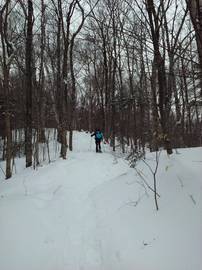
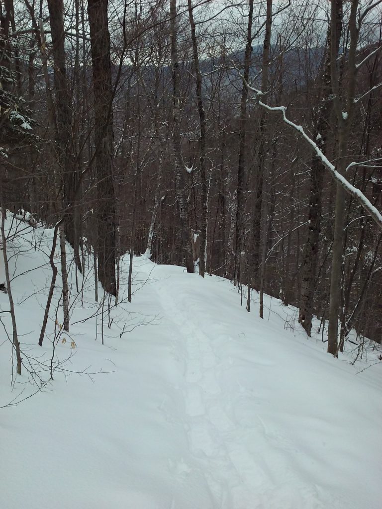
Follow Ethan Pond Trail, (Appalachian Trail), for 1.3 miles.
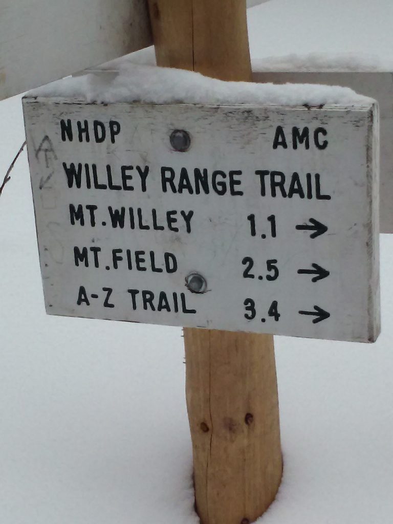
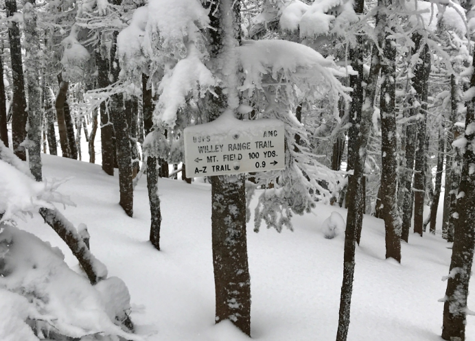
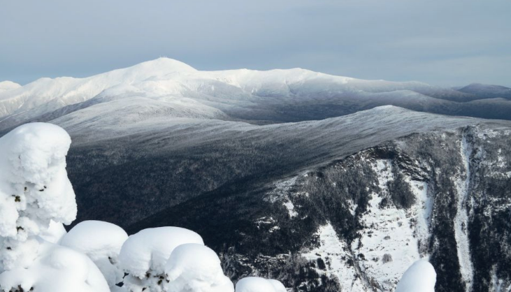
There is no view as such on Mt. Willey but there is an overlook that’s a great place to snap a pic!
Trail Map
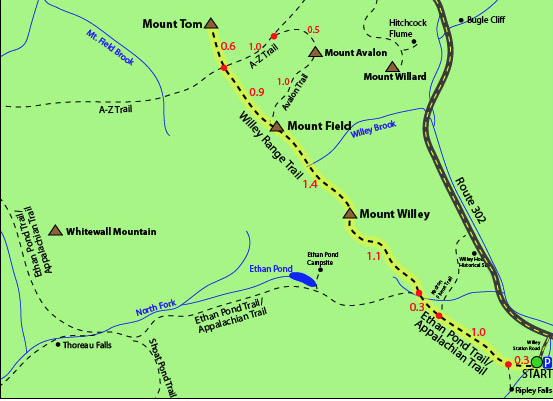
Source: http://4000footers.com/willey.shtml
Directions
The parking lot for this hike is located on Willey Station Road off of Route 302 in Whitefield, New Hampshire. Go to the end of the road, where there is a small parking lot. (You are allowed to park along Willey Station Road if the parking area is full.)